The Eastern Provinces of the Roman Empire
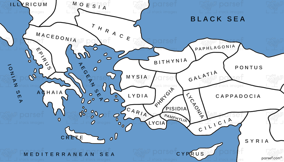
The Roman Empire stretched from Britain to Mesopotamia, but its eastern provinces - what the Romans called Asia - were particularly significant for early Christianity. We've traveled through many of these lands, from the bustling port of Ephesus in modern Turkey to the ancient roads of Syria and Lebanon. This map shows the key cities of the New Testament: Antioch, where followers of Jesus were first called Christians; Tarsus, Paul’s hometown; and the seven churches of Revelation in Asia Minor. The Roman road system connected these cities, allowing for the rapid spread of both goods and ideas. We've walked the ancient streets of Philippi in Greece and stood in the harbor of Caesarea Maritima in Israel, imagining the apostle Paul's journeys.
Download High Resolution 300 DPI File Asia in Roman Times Map