The Land of Pharaoh and Famine
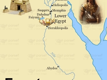
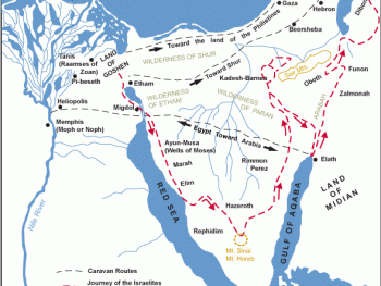
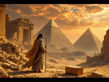
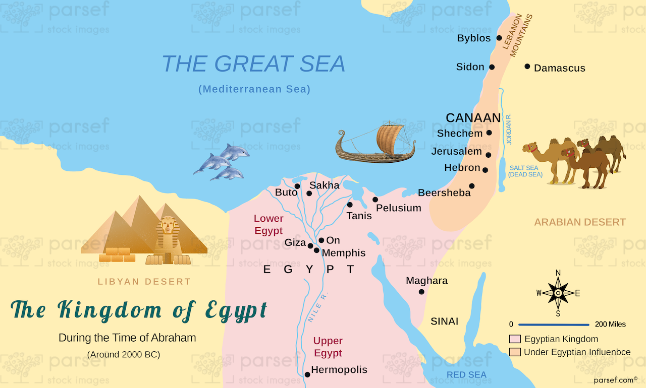
A famine in Canaan drove Abraham and Sarah to Egypt, where Pharaoh's officials welcomed them - until God intervened. We've traced their likely route from the Negev to the Nile Delta, where Abraham pretended Sarah was his sister (Genesis 12:10–20). This map shows Egypt as it was during the Middle Bronze Age, with its powerful pharaohs and thriving cities like Memphis and Heliopolis. For travelers in Egypt, this map connects Abraham's story to the land where he briefly lived, acquired wealth, and was sent away by Pharaoh. It's a reminder of God's protection even in foreign lands.
Download High Resolution 300 DPI File Egypt During Abraham’s Time Map